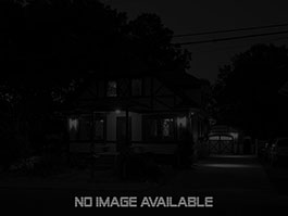
69 Carter Dr, Tolland, CT 06084
2 Beds | 1.1 Baths | 1,092 Sqft
- Public Records
- Tax Assessor
This Property is NOT For Sale.
- Currently Used as 1-Fam Res
- RDD Zoning
- 5 Rooms
- 0.78 Acres
- Built in 1965
- 2616 Sqft Gross
- 1092 Sqft Living Space
- Total: $121,700
- Land: $57,300
- Building: $64,400
- 26 C 13 00 Parcel APN
- Tax Year 2020
- Mill Rate 36.050
- Taxes $4,387
- Prop ID 1652610
- $207,500
- 2020-08-20
- 1520 Book / 1520 Page
- Warranty
- Private -
- Private -
The real estate located at 69 Carter Dr in Tolland, CT has 2 bedrooms, 1.1 bathrooms, and was built in 1965.
It is located in the Tolland area with the 06084 zip code.
Data sourced from CTSMARTMLS and was last updated May 18, 2017.
|
 Mortgage: $1,118
 Taxes: $366
 Insurance: $0
 HOA: $0
 Utilities: $0
 Downpayment: $6,085